Rusty Red Cromlet
Introduction
The photograph on this page of Rusty Red Cromlet by Andrew Wood as part of the Geograph project.
The Geograph project started in 2005 with the aim of publishing, organising and preserving representative images for every square kilometre of Great Britain, Ireland and the Isle of Man.

There are currently over 7.5m images from over 14,400 individuals and you can help contribute to the project by visiting https://www.geograph.org.uk
Rusty Red Cromlet
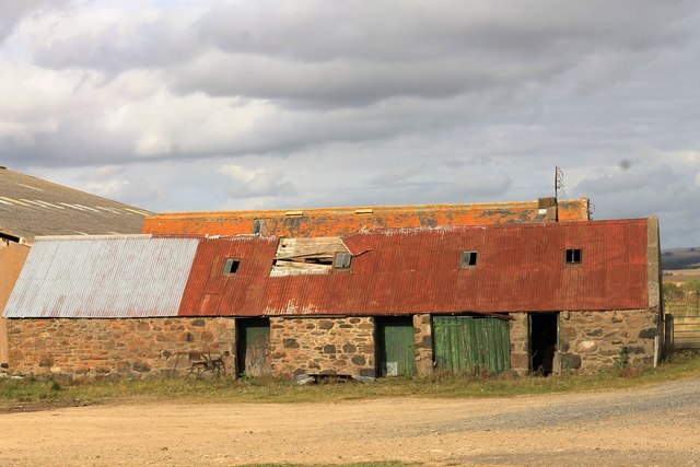
Image: © Andrew Wood Taken: 8 Oct 2016
Another of the north east farmsteads falling into dilapidation as even the rusty corrugated iron seems ready to let go. This farm is just by the A947, the steading similar to many but untouched where others have been converted.
Images are licensed for reuse under creativecommons.org/licenses/by-sa/2.0
Image Location
Latitude
57.405219
Longitude
-2.366615