Active Learning House
Introduction
The photograph on this page of Active Learning House by Ian Capper as part of the Geograph project.
The Geograph project started in 2005 with the aim of publishing, organising and preserving representative images for every square kilometre of Great Britain, Ireland and the Isle of Man.

There are currently over 7.5m images from over 14,400 individuals and you can help contribute to the project by visiting https://www.geograph.org.uk
Active Learning House
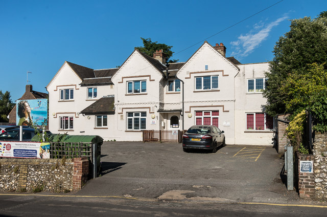
Image: © Ian Capper Taken: 26 Aug 2016
Large house on Moore's Road, near its junction with High Street. Maps suggest it was built in the 1920s/early 1930s. Originally names Medwyn, for many years it housed a surgery, but is now a children's nursery.
Images are licensed for reuse under creativecommons.org/licenses/by-sa/2.0
Image Location
Latitude
51.23423
Longitude
-0.326213