Balls Pond Road at the junction of Kingsland Road
Introduction
The photograph on this page of Balls Pond Road at the junction of Kingsland Road by David Howard as part of the Geograph project.
The Geograph project started in 2005 with the aim of publishing, organising and preserving representative images for every square kilometre of Great Britain, Ireland and the Isle of Man.

There are currently over 7.5m images from over 14,400 individuals and you can help contribute to the project by visiting https://www.geograph.org.uk
Balls Pond Road at the junction of Kingsland Road
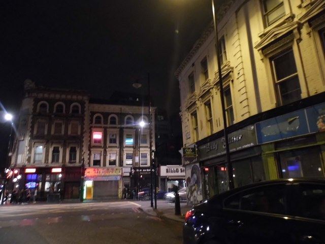
Image: © David Howard Taken: 8 Oct 2016
I don't know how people needing to get to the City from here manage as the first right turn with a major road is far to the east in Mare Street.
Images are licensed for reuse under creativecommons.org/licenses/by-sa/2.0
Image Location
Latitude
51.546128
Longitude
-0.076002