Church centre
Introduction
The photograph on this page of Church centre by Neil Owen as part of the Geograph project.
The Geograph project started in 2005 with the aim of publishing, organising and preserving representative images for every square kilometre of Great Britain, Ireland and the Isle of Man.

There are currently over 7.5m images from over 14,400 individuals and you can help contribute to the project by visiting https://www.geograph.org.uk
Church centre
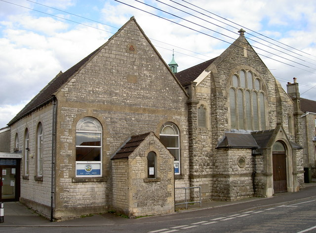
Image: © Neil Owen Taken: 6 Oct 2016
High Littleton was a village that grew rapidly with the local coal mining industry. As with many in a similar boom, many villagers became committed with the Methodist movement. This is the northernmost of the chapels and it also offered Sunday schooling. It has now joined forces with the Holy Trinity Anglican Church to provide many varied community facilities.
Images are licensed for reuse under creativecommons.org/licenses/by-sa/2.0
Image Location
Latitude
51.323678
Longitude
-2.510412