Plackett's Hole
Introduction
The photograph on this page of Plackett's Hole by Penny Mayes as part of the Geograph project.
The Geograph project started in 2005 with the aim of publishing, organising and preserving representative images for every square kilometre of Great Britain, Ireland and the Isle of Man.

There are currently over 7.5m images from over 14,400 individuals and you can help contribute to the project by visiting https://www.geograph.org.uk
Plackett's Hole
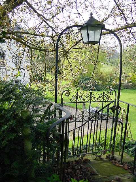
Image: © Penny Mayes Taken: 22 Apr 2005
Large house set below the road which is on a level with the first floor windows.
Images are licensed for reuse under creativecommons.org/licenses/by-sa/2.0
Image Location
Latitude
51.302298
Longitude
0.672581