Evesham Road pelican crossing, Cheltenham
Introduction
The photograph on this page of Evesham Road pelican crossing, Cheltenham by Jaggery as part of the Geograph project.
The Geograph project started in 2005 with the aim of publishing, organising and preserving representative images for every square kilometre of Great Britain, Ireland and the Isle of Man.

There are currently over 7.5m images from over 14,400 individuals and you can help contribute to the project by visiting https://www.geograph.org.uk
Evesham Road pelican crossing, Cheltenham
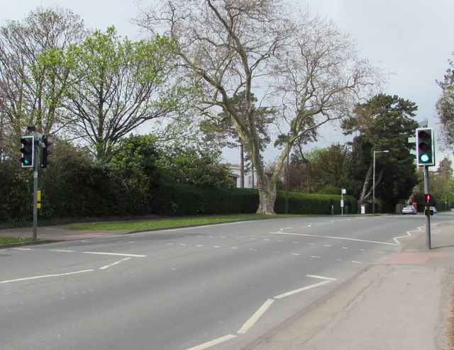
Image: © Jaggery Taken: 27 Apr 2016
Across the A435 Evesham Road, viewed from the corner of West Approach Drive. Chambers Dictionary states that pelican in this context is adapted from "pedestrian light controlled crossing".
Images are licensed for reuse under creativecommons.org/licenses/by-sa/2.0
Image Location


Leaflet Map data © OpenStreetMap
Latitude
51.911992
Longitude
-2.069443