Sandysike House from behind the Ha-Ha in the Field
Introduction
The photograph on this page of Sandysike House from behind the Ha-Ha in the Field by James Emmans as part of the Geograph project.
The Geograph project started in 2005 with the aim of publishing, organising and preserving representative images for every square kilometre of Great Britain, Ireland and the Isle of Man.

There are currently over 7.5m images from over 14,400 individuals and you can help contribute to the project by visiting https://www.geograph.org.uk
Sandysike House from behind the Ha-Ha in the Field
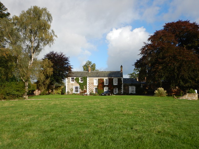
Image: © James Emmans Taken: 29 Sep 2016
Ancient 18th Century copper beech to the right. The ha-ha is barely visible as expected.
Images are licensed for reuse under creativecommons.org/licenses/by-sa/2.0
Image Location
Latitude
54.968707
Longitude
-2.757707