Harold Street, Pontnewydd, Cwmbran
Introduction
The photograph on this page of Harold Street, Pontnewydd, Cwmbran by Jaggery as part of the Geograph project.
The Geograph project started in 2005 with the aim of publishing, organising and preserving representative images for every square kilometre of Great Britain, Ireland and the Isle of Man.

There are currently over 7.5m images from over 14,400 individuals and you can help contribute to the project by visiting https://www.geograph.org.uk
Harold Street, Pontnewydd, Cwmbran
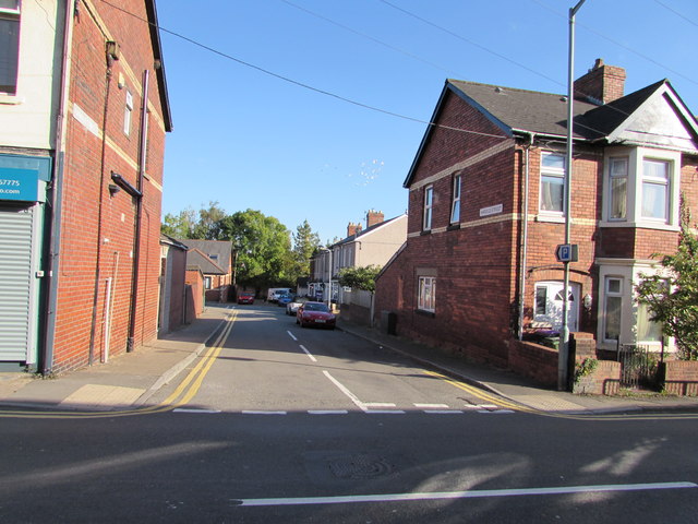
Image: © Jaggery Taken: 5 Oct 2016
Dead-end street extending for 65 metres from Chapel Street to a wall above the A4051 Cwmbran Drive. The edge of New Chapel Street Surgery http://www.geograph.org.uk/photo/5144448 is at the far end of the street on the left.
Images are licensed for reuse under creativecommons.org/licenses/by-sa/2.0
Image Location
Latitude
51.660105
Longitude
-3.024957