Sunny Hill Park
Introduction
The photograph on this page of Sunny Hill Park by Marathon as part of the Geograph project.
The Geograph project started in 2005 with the aim of publishing, organising and preserving representative images for every square kilometre of Great Britain, Ireland and the Isle of Man.

There are currently over 7.5m images from over 14,400 individuals and you can help contribute to the project by visiting https://www.geograph.org.uk
Sunny Hill Park
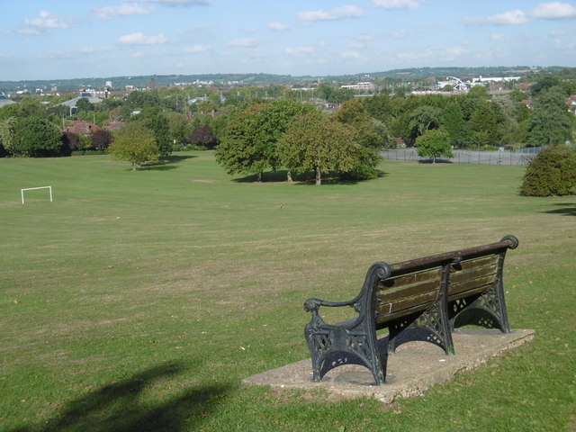
Image: © Marathon Taken: 5 Oct 2016
Sunny Hill Park was created in the 1920s when Hendon Council purchased Sunnyhill Fields in 1921, which belonged to Church Farmhouse, whose garden adjoins the south end of the park. It also includes an area that was once part of the churchyard of Hendon parish church of St Mary. The park opened in 1922. It was enlarged in 1929 when further land was added. Church Farm House was a museum but has now sadly closed - see http://www.geograph.org.uk/photo/4701781 The park became a popular viewing point during the 1920s and 1930s for watching air displays at Hendon Aerodrome and still provides fine views to the north and to the west.
Images are licensed for reuse under creativecommons.org/licenses/by-sa/2.0
Image Location


Leaflet Map data © OpenStreetMap
Latitude
51.596656
Longitude
-0.229658