Dene Street
Introduction
The photograph on this page of Dene Street by Ian Capper as part of the Geograph project.
The Geograph project started in 2005 with the aim of publishing, organising and preserving representative images for every square kilometre of Great Britain, Ireland and the Isle of Man.

There are currently over 7.5m images from over 14,400 individuals and you can help contribute to the project by visiting https://www.geograph.org.uk
Dene Street
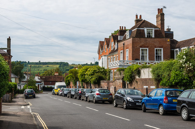
Image: © Ian Capper Taken: 11 Jun 2016
Looking north along Dene Street. On the right is Cotmandene Lodge, a large house in four sections dating originally from the early 18th Century with later additions. Grade II listed - see https://www.historicengland.org.uk/listing/the-list/list-entry/1227739. See Image] for closer view.
Images are licensed for reuse under creativecommons.org/licenses/by-sa/2.0
Image Location
Latitude
51.231038
Longitude
-0.327503