Queen?s Park: a house?s side entrance onto footpath K04
Introduction
The photograph on this page of Queen?s Park: a house?s side entrance onto footpath K04 by Chris Downer as part of the Geograph project.
The Geograph project started in 2005 with the aim of publishing, organising and preserving representative images for every square kilometre of Great Britain, Ireland and the Isle of Man.

There are currently over 7.5m images from over 14,400 individuals and you can help contribute to the project by visiting https://www.geograph.org.uk
Queen?s Park: a house?s side entrance onto footpath K04
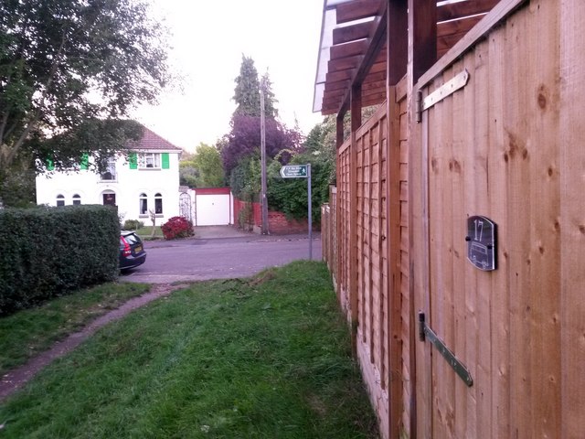
Image: © Chris Downer Taken: 5 Oct 2016
This short public footpath - 27m in length - leads from between 17 and 19 Bower Road into the wooded edge of Strouden public open space. We see it here arriving onto Bower Road, with a side gate from no.17 opening onto the path. See Image for the view along the path from across the road, and Image for the view behind us into the wood.
Images are licensed for reuse under creativecommons.org/licenses/by-sa/2.0
Image Location
Latitude
50.744788
Longitude
-1.848862