Strouden: footpath K30 from Normanhurst Avenue
Introduction
The photograph on this page of Strouden: footpath K30 from Normanhurst Avenue by Chris Downer as part of the Geograph project.
The Geograph project started in 2005 with the aim of publishing, organising and preserving representative images for every square kilometre of Great Britain, Ireland and the Isle of Man.

There are currently over 7.5m images from over 14,400 individuals and you can help contribute to the project by visiting https://www.geograph.org.uk
Strouden: footpath K30 from Normanhurst Avenue
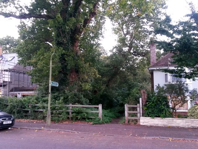
Image: © Chris Downer Taken: 5 Oct 2016
This short public footpath heads into the woods from Normanhurst Avenue and joins another footpath, number K18, once under cover of the trees. See Image for the view towards us from a little way down the path, with links to further photos on the route.
Images are licensed for reuse under creativecommons.org/licenses/by-sa/2.0
Image Location
Latitude
50.74703
Longitude
-1.843894