Scrub and wetland south of the Alan Higgs Centre, southeast Coventry
Introduction
The photograph on this page of Scrub and wetland south of the Alan Higgs Centre, southeast Coventry by Robin Stott as part of the Geograph project.
The Geograph project started in 2005 with the aim of publishing, organising and preserving representative images for every square kilometre of Great Britain, Ireland and the Isle of Man.

There are currently over 7.5m images from over 14,400 individuals and you can help contribute to the project by visiting https://www.geograph.org.uk
Scrub and wetland south of the Alan Higgs Centre, southeast Coventry
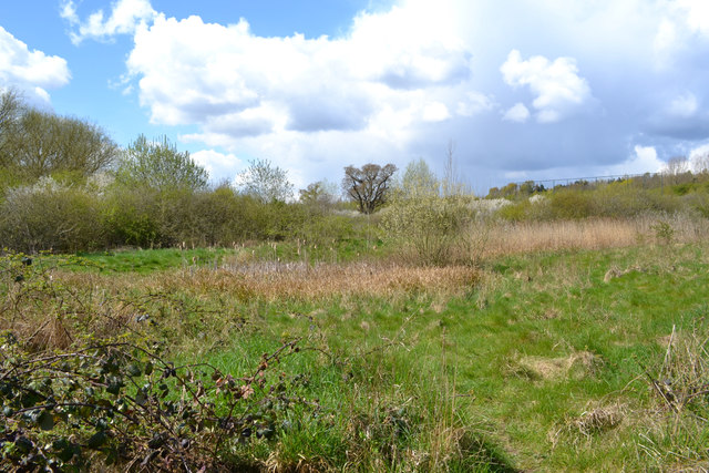
Image: © Robin Stott Taken: 27 Apr 2016
Guessing, the mosaic of vegetation has been allowed to develop since the construction of Allard Way. The River Sowe is behind the camera. This is public open space though not much visited.
Images are licensed for reuse under creativecommons.org/licenses/by-sa/2.0
Image Location
Latitude
52.390926
Longitude
-1.472277