Strouden: footpath K18 approaches Wordsworth Avenue
Introduction
The photograph on this page of Strouden: footpath K18 approaches Wordsworth Avenue by Chris Downer as part of the Geograph project.
The Geograph project started in 2005 with the aim of publishing, organising and preserving representative images for every square kilometre of Great Britain, Ireland and the Isle of Man.

There are currently over 7.5m images from over 14,400 individuals and you can help contribute to the project by visiting https://www.geograph.org.uk
Strouden: footpath K18 approaches Wordsworth Avenue
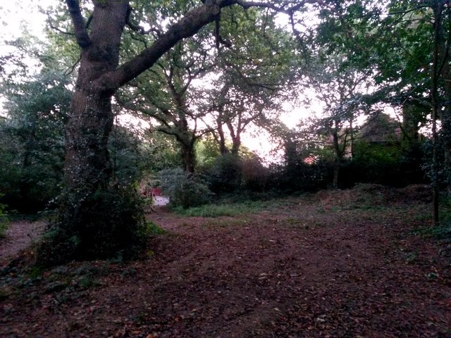
Image: © Chris Downer Taken: 5 Oct 2016
This public right of way, footpath K18, leads through the woods from Broad Avenue to Wordsworth Avenue and we see it here as it approaches the dead end of the latter. The actual mapped course of the right of way may actually be the narrower path to the left of the tree, but this broader path is the more followable, if less straight, route. Another public footpath, number K30, heads off to the right just here too. See: Image for the next view on the path ahead; Image for the next view behind us; and Image for the view of path K30 heading off to the right - each with links to further photos on the routes.
Images are licensed for reuse under creativecommons.org/licenses/by-sa/2.0
Image Location
Latitude
50.747569
Longitude
-1.843892