Strouden: footpath K18 joins the path from Bradpole Road
Introduction
The photograph on this page of Strouden: footpath K18 joins the path from Bradpole Road by Chris Downer as part of the Geograph project.
The Geograph project started in 2005 with the aim of publishing, organising and preserving representative images for every square kilometre of Great Britain, Ireland and the Isle of Man.

There are currently over 7.5m images from over 14,400 individuals and you can help contribute to the project by visiting https://www.geograph.org.uk
Strouden: footpath K18 joins the path from Bradpole Road
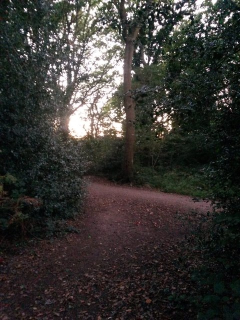
Image: © Chris Downer Taken: 5 Oct 2016
This public right of way, footpath K18, leads through the woods from Wordsworth Avenue and here joins a more obviously followable route (right) down to Bradpole Road. The course of footpath K18 continues left to Broad Avenue. See Image for the next photo on the path ahead, and Image for the next view behind us - each with links to further photos on the route.
Images are licensed for reuse under creativecommons.org/licenses/by-sa/2.0
Image Location
Latitude
50.747392
Longitude
-1.846161