Strouden: the start of footpaths K18 and K48
Introduction
The photograph on this page of Strouden: the start of footpaths K18 and K48 by Chris Downer as part of the Geograph project.
The Geograph project started in 2005 with the aim of publishing, organising and preserving representative images for every square kilometre of Great Britain, Ireland and the Isle of Man.

There are currently over 7.5m images from over 14,400 individuals and you can help contribute to the project by visiting https://www.geograph.org.uk
Strouden: the start of footpaths K18 and K48
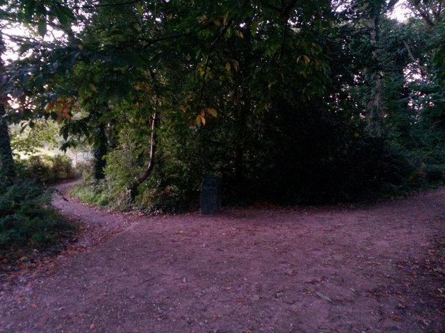
Image: © Chris Downer Taken: 5 Oct 2016
Looking along the start of public footpath K48 (left), which is the historic route of what is now Broad Avenue at the southern end (just behind us) and Castle Gate Close at the northwest end - this referring to a time before these suburbs of the town were built. Meanwhile, the wider track to the right is footpath K18 leading to Wordsworth Avenue and a modern path towards Bradpole Road. See: Image for the view towards us from path K48 ahead; Image for the next view on the path K18, right (each with links to further pictures on the route); and Image for the view to here from the end of Broad Avenue, behind us.
Images are licensed for reuse under creativecommons.org/licenses/by-sa/2.0
Image Location
Latitude
50.747033
Longitude
-1.846587