Cotmandene
Introduction
The photograph on this page of Cotmandene by Ian Capper as part of the Geograph project.
The Geograph project started in 2005 with the aim of publishing, organising and preserving representative images for every square kilometre of Great Britain, Ireland and the Isle of Man.

There are currently over 7.5m images from over 14,400 individuals and you can help contribute to the project by visiting https://www.geograph.org.uk
Cotmandene
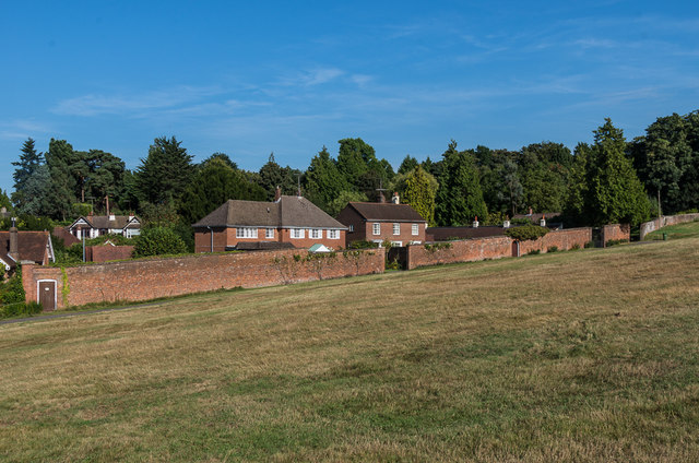
Image: © Ian Capper Taken: 26 Aug 2016
Common land south of Dorking town centre. The wall was once part of the surrounds of the large kitchen garden of Deepdene House, retained when the garden itself was developed for housing.
Images are licensed for reuse under creativecommons.org/licenses/by-sa/2.0
Image Location
Latitude
51.231934
Longitude
-0.325394