Looking south-southeast along Old Dover Road
Introduction
The photograph on this page of Looking south-southeast along Old Dover Road by John Baker as part of the Geograph project.
The Geograph project started in 2005 with the aim of publishing, organising and preserving representative images for every square kilometre of Great Britain, Ireland and the Isle of Man.

There are currently over 7.5m images from over 14,400 individuals and you can help contribute to the project by visiting https://www.geograph.org.uk
Looking south-southeast along Old Dover Road
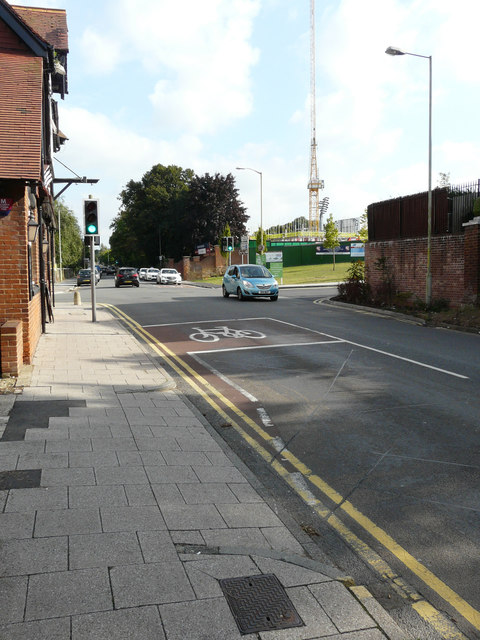
Image: © John Baker Taken: 18 Sep 2016
To where ongoing building work is being carried out. Planning permission has been granted by Canterbury City Council under application number CA//15/00870 for the “erection of 60 retirement living apartments with associated facilities, improvements to the cricket ground including landscaping, re-organisation of the supermarket car park and formation of new vehicular access (resubmission)”. The location of the development is Kent County Cricket Club, St Lawrence Ground.
Images are licensed for reuse under creativecommons.org/licenses/by-sa/2.0
Image Location
Latitude
51.268671
Longitude
1.092012