Loch Long and Loch Goil
Introduction
The photograph on this page of Loch Long and Loch Goil by Thomas Nugent as part of the Geograph project.
The Geograph project started in 2005 with the aim of publishing, organising and preserving representative images for every square kilometre of Great Britain, Ireland and the Isle of Man.

There are currently over 7.5m images from over 14,400 individuals and you can help contribute to the project by visiting https://www.geograph.org.uk
Loch Long and Loch Goil
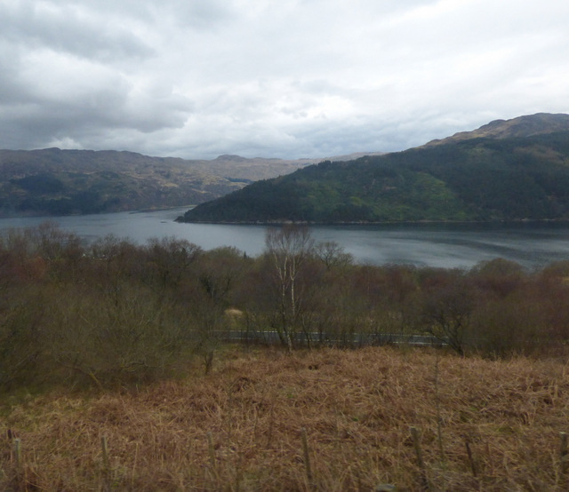
Image: © Thomas Nugent Taken: 13 Apr 2016
The entrance to Loch Goil is to the left of the wooded point of Meall Daraich. Viewed from a train on the West Highland Line, passing Portincaple.
Images are licensed for reuse under creativecommons.org/licenses/by-sa/2.0
Image Location
Latitude
56.101171
Longitude
-4.83725