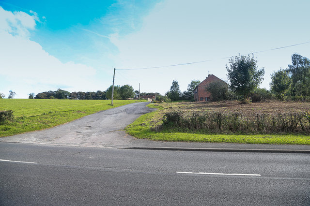
Driveway to Rainbows Farm
Introduction
The photograph on this page of Driveway to Rainbows Farm by Mike Dodman as part of the Geograph project.
The Geograph project started in 2005 with the aim of publishing, organising and preserving representative images for every square kilometre of Great Britain, Ireland and the Isle of Man.
There are currently over 7.5m images from over 14,400 individuals and you can help contribute to the project by visiting https://www.geograph.org.uk

Image: © Mike Dodman Taken: 4 Oct 2016
Although shown on the map as Firs Farm, to locals this has always been known as Rainbows Farm (from the family who have lived there for many years). As of October 2016, the farm is in the process of being sold. Might this scene be very different in a few years from now? No-one knows. As David Smith Image said in 2013 there is "farmland between Marlbrook and Lickey." Will that remain? See also Roy Hughes' photo Image showing the same stretch of the Old Birmingham Road.

