Mill Lane
Introduction
The photograph on this page of Mill Lane by Ian Capper as part of the Geograph project.
The Geograph project started in 2005 with the aim of publishing, organising and preserving representative images for every square kilometre of Great Britain, Ireland and the Isle of Man.

There are currently over 7.5m images from over 14,400 individuals and you can help contribute to the project by visiting https://www.geograph.org.uk
Mill Lane
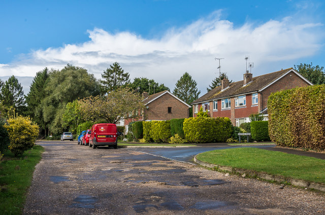
Image: © Ian Capper Taken: 30 Sep 2016
1960s/70s housing. The 1974 1:2500 map calls this section of road Fairfield Road, a name that now only applies to the road off to the right in this photo.
Images are licensed for reuse under creativecommons.org/licenses/by-sa/2.0
Image Location
Latitude
50.929776
Longitude
-0.39292