The Great Flood of '68
Introduction
The photograph on this page of The Great Flood of '68 by Neil Owen as part of the Geograph project.
The Geograph project started in 2005 with the aim of publishing, organising and preserving representative images for every square kilometre of Great Britain, Ireland and the Isle of Man.

There are currently over 7.5m images from over 14,400 individuals and you can help contribute to the project by visiting https://www.geograph.org.uk
The Great Flood of '68
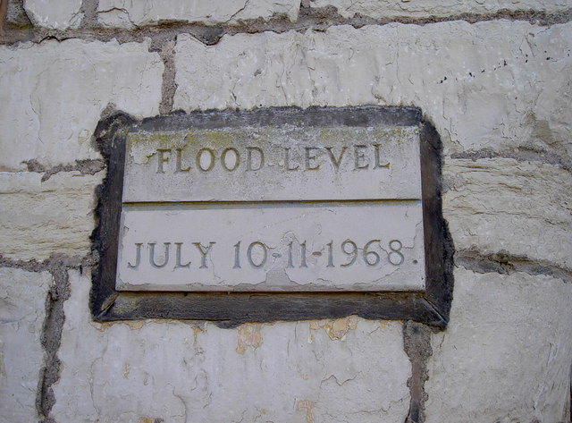
Image: © Neil Owen Taken: 3 Oct 2016
Pensford was devastated in the terrible flooding of the River Chew in 1968, with the main bridge being washed away, the railway viaduct and St Thomas à Becket church becoming weakened to the point of disuse and many properties extensively damaged. This marker is on a former mill close to the centre of the village - see Image
Images are licensed for reuse under creativecommons.org/licenses/by-sa/2.0
Image Location
Latitude
51.371514
Longitude
-2.550306