Dunlossit House
Introduction
The photograph on this page of Dunlossit House by Andrew Wood as part of the Geograph project.
The Geograph project started in 2005 with the aim of publishing, organising and preserving representative images for every square kilometre of Great Britain, Ireland and the Isle of Man.

There are currently over 7.5m images from over 14,400 individuals and you can help contribute to the project by visiting https://www.geograph.org.uk
Dunlossit House
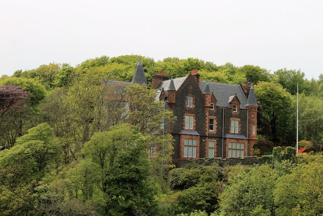
Image: © Andrew Wood Taken: 30 May 2015
An imposing baronial mansion Dunlossit House was once a shooting lodge but was converted in 1868.
Images are licensed for reuse under creativecommons.org/licenses/by-sa/2.0
Image Location
Latitude
55.845801
Longitude
-6.104261