Bandstand, Ryelands Park
Introduction
The photograph on this page of Bandstand, Ryelands Park by Ian Taylor as part of the Geograph project.
The Geograph project started in 2005 with the aim of publishing, organising and preserving representative images for every square kilometre of Great Britain, Ireland and the Isle of Man.

There are currently over 7.5m images from over 14,400 individuals and you can help contribute to the project by visiting https://www.geograph.org.uk
Bandstand, Ryelands Park
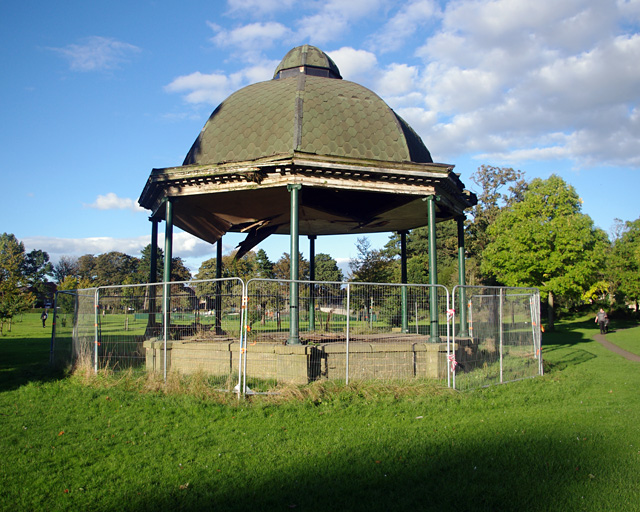
Image: © Ian Taylor Taken: 2 Oct 2016
Lancaster City Council is planning to demolish this bandstand. See Image for a 2011 view.
Images are licensed for reuse under creativecommons.org/licenses/by-sa/2.0
Image Location
Latitude
54.056476
Longitude
-2.804705