Alliance Works, Brindle Street, Preston
Introduction
The photograph on this page of Alliance Works, Brindle Street, Preston by Stephen Richards as part of the Geograph project.
The Geograph project started in 2005 with the aim of publishing, organising and preserving representative images for every square kilometre of Great Britain, Ireland and the Isle of Man.

There are currently over 7.5m images from over 14,400 individuals and you can help contribute to the project by visiting https://www.geograph.org.uk
Alliance Works, Brindle Street, Preston
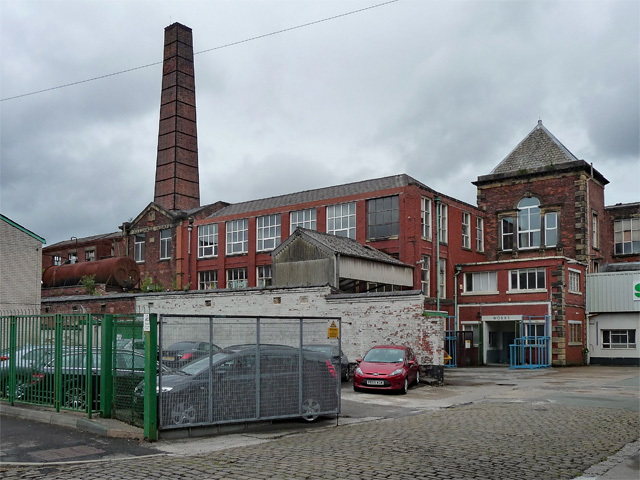
Image: © Stephen Richards Taken: 12 Jun 2013
Built in 1862 though altered in the late C19th or early C20th. Occupied at the time by Somic Textiles Ltd, but threatened with demolition for a housing development.
Images are licensed for reuse under creativecommons.org/licenses/by-sa/2.0
Image Location
Latitude
53.762337
Longitude
-2.682417