Intertidal zone, Chessel Bay
Introduction
The photograph on this page of Intertidal zone, Chessel Bay by Robin Webster as part of the Geograph project.
The Geograph project started in 2005 with the aim of publishing, organising and preserving representative images for every square kilometre of Great Britain, Ireland and the Isle of Man.

There are currently over 7.5m images from over 14,400 individuals and you can help contribute to the project by visiting https://www.geograph.org.uk
Intertidal zone, Chessel Bay
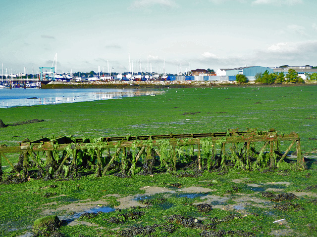
Image: © Robin Webster Taken: 2 Oct 2016
Complete with rather large debris, a steel truss, too small for a Bailey bridge, more like a bit of a tower crane.
Images are licensed for reuse under creativecommons.org/licenses/by-sa/2.0
Image Location
Latitude
50.91506
Longitude
-1.374766