Buttercup meadow north of Mithian
Introduction
The photograph on this page of Buttercup meadow north of Mithian by Elaine Hamby as part of the Geograph project.
The Geograph project started in 2005 with the aim of publishing, organising and preserving representative images for every square kilometre of Great Britain, Ireland and the Isle of Man.

There are currently over 7.5m images from over 14,400 individuals and you can help contribute to the project by visiting https://www.geograph.org.uk
Buttercup meadow north of Mithian
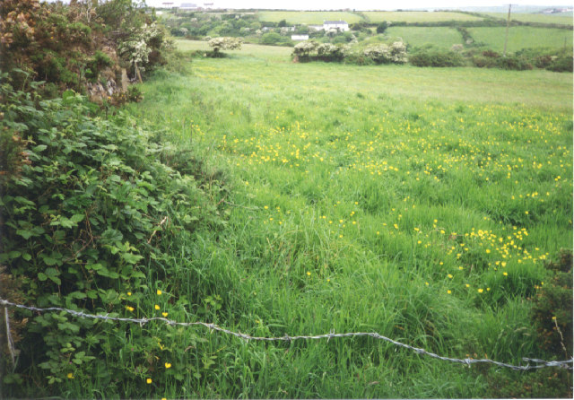
Image: © Elaine Hamby Taken: Unknown
Taken from the track that leads north and then west from Trewartha, near Mithian, the photographer is at SW741510 looking north, with structures of Rose Cottage Farm and Trevellas Downs visible in the distance.
Images are licensed for reuse under creativecommons.org/licenses/by-sa/2.0
Image Location


Leaflet Map data © OpenStreetMap
Latitude
50.317559
Longitude
-5.173457