The Burnie Bing
Introduction
The photograph on this page of The Burnie Bing by Rab McMurdo as part of the Geograph project.
The Geograph project started in 2005 with the aim of publishing, organising and preserving representative images for every square kilometre of Great Britain, Ireland and the Isle of Man.

There are currently over 7.5m images from over 14,400 individuals and you can help contribute to the project by visiting https://www.geograph.org.uk
The Burnie Bing
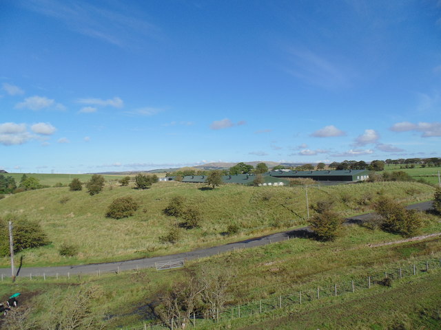
Image: © Rab McMurdo Taken: 1 Oct 2016
The old Burnie pit bing and the modern sheds behind it. 1st October 2016.
Images are licensed for reuse under creativecommons.org/licenses/by-sa/2.0
Image Location


Leaflet Map data © OpenStreetMap
Latitude
55.473486
Longitude
-4.252971