Wray Valley Trail - Phase 2
Introduction
The photograph on this page of Wray Valley Trail - Phase 2 by Guy Wareham as part of the Geograph project.
The Geograph project started in 2005 with the aim of publishing, organising and preserving representative images for every square kilometre of Great Britain, Ireland and the Isle of Man.

There are currently over 7.5m images from over 14,400 individuals and you can help contribute to the project by visiting https://www.geograph.org.uk
Wray Valley Trail - Phase 2
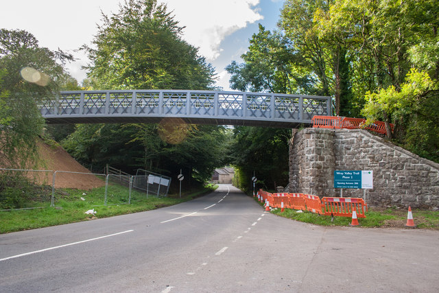
Image: © Guy Wareham Taken: 30 Sep 2016
Work nearing completion on the extension to the trail.
Images are licensed for reuse under creativecommons.org/licenses/by-sa/2.0
Image Location
Latitude
50.653364
Longitude
-3.74741