Endrick Water
Introduction
The photograph on this page of Endrick Water by Euan Nelson as part of the Geograph project.
The Geograph project started in 2005 with the aim of publishing, organising and preserving representative images for every square kilometre of Great Britain, Ireland and the Isle of Man.

There are currently over 7.5m images from over 14,400 individuals and you can help contribute to the project by visiting https://www.geograph.org.uk
Endrick Water
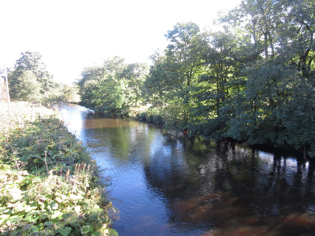
Image: © Euan Nelson Taken: 1 Oct 2016
Taken from Endrick Bridge at Balfron, the Endrick Water is formed by the Burnfoot Burn rising in the Gargunnock Hills and the Backside Burn rising in the Fintry Hills. The Endrick then flows into Loch Lomond.
Images are licensed for reuse under creativecommons.org/licenses/by-sa/2.0
Image Location
Latitude
56.063433
Longitude
-4.344464