The back of Bonnington Cottage
Introduction
The photograph on this page of The back of Bonnington Cottage by John Baker as part of the Geograph project.
The Geograph project started in 2005 with the aim of publishing, organising and preserving representative images for every square kilometre of Great Britain, Ireland and the Isle of Man.

There are currently over 7.5m images from over 14,400 individuals and you can help contribute to the project by visiting https://www.geograph.org.uk
The back of Bonnington Cottage
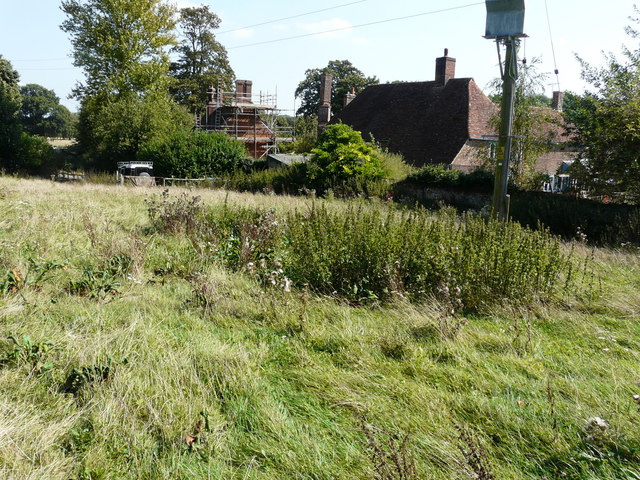
Image: © John Baker Taken: 8 Sep 2016
This view shows that scaffolding has been erected, while alterations are made to the house. Planning permission has been granted by Dover District Council under application number DOV/16/00847 for “external and internal alterations including removing cement render panels to SE elevation and replace with lime. GF (ground floor) and FF (first floor) remove plasterboard and install insulation boards between the frame with a lime plaster finish. New bead and butt boarding to the FF (first floor) landing and new stud partition to bathroom”. Nick Smith’s view of Image shows the house from the front.
Images are licensed for reuse under creativecommons.org/licenses/by-sa/2.0
Image Location
Latitude
51.239753
Longitude
1.223621