New Houses by the Path
Introduction
The photograph on this page of New Houses by the Path by Des Blenkinsopp as part of the Geograph project.
The Geograph project started in 2005 with the aim of publishing, organising and preserving representative images for every square kilometre of Great Britain, Ireland and the Isle of Man.

There are currently over 7.5m images from over 14,400 individuals and you can help contribute to the project by visiting https://www.geograph.org.uk
New Houses by the Path
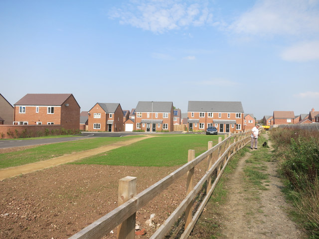
Image: © Des Blenkinsopp Taken: 14 Sep 2016
For a while this footpath marked the boundary of the built up area. Now it heads straight into the housing.
Images are licensed for reuse under creativecommons.org/licenses/by-sa/2.0
Image Location
Latitude
52.081569
Longitude
-1.956322