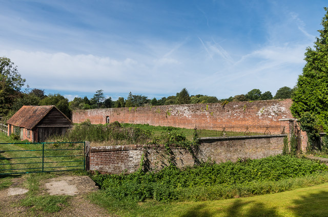
Wall, Old Bury Hill Gardens
Introduction
The photograph on this page of Wall, Old Bury Hill Gardens by Ian Capper as part of the Geograph project.
The Geograph project started in 2005 with the aim of publishing, organising and preserving representative images for every square kilometre of Great Britain, Ireland and the Isle of Man.
There are currently over 7.5m images from over 14,400 individuals and you can help contribute to the project by visiting https://www.geograph.org.uk

Image: © Ian Capper Taken: 24 Sep 2016
Former walled garden of Bury Hill. Bury Hill was a large mansion built by James Walter in 1753. In 1805 (or 1812 or 1815, depending on source) the house and a large part of the estate was bought by Robert Barclay, a Southwark Brewer, whose family remained there for almost 150 years. The house was occupied by the military in the Second World War. After the war it was converted to flats, but whilst this was happening, the centre part was destroyed by fire, although the outer parts survived and remain in residential use. The gardens of which this the wall, along with the former orangery/stable block which forms the rear of the garden (not visible in this photo), date from the 18th Century and are grade II and grade II* listed respectively - see https://www.historicengland.org.uk/listing/the-list/list-entry/1229032 and https://www.historicengland.org.uk/listing/the-list/list-entry/1228824.

