Footpath through the housing
Introduction
The photograph on this page of Footpath through the housing by Des Blenkinsopp as part of the Geograph project.
The Geograph project started in 2005 with the aim of publishing, organising and preserving representative images for every square kilometre of Great Britain, Ireland and the Isle of Man.

There are currently over 7.5m images from over 14,400 individuals and you can help contribute to the project by visiting https://www.geograph.org.uk
Footpath through the housing
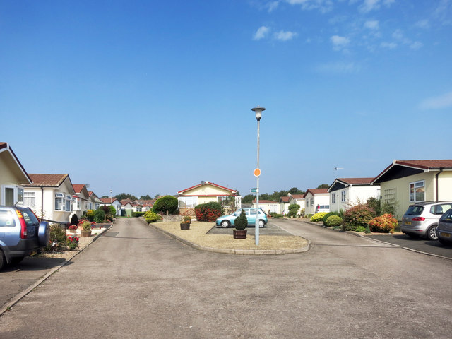
Image: © Des Blenkinsopp Taken: 14 Sep 2016
A public footpath runs through the middle of this estate. The map calls it a mobile home park, but I doubt these places are going anywhere much.
Images are licensed for reuse under creativecommons.org/licenses/by-sa/2.0
Image Location
Latitude
52.087684
Longitude
-1.960841