Rainsborough Avenue
Introduction
The photograph on this page of Rainsborough Avenue by Robert Eva as part of the Geograph project.
The Geograph project started in 2005 with the aim of publishing, organising and preserving representative images for every square kilometre of Great Britain, Ireland and the Isle of Man.

There are currently over 7.5m images from over 14,400 individuals and you can help contribute to the project by visiting https://www.geograph.org.uk
Rainsborough Avenue
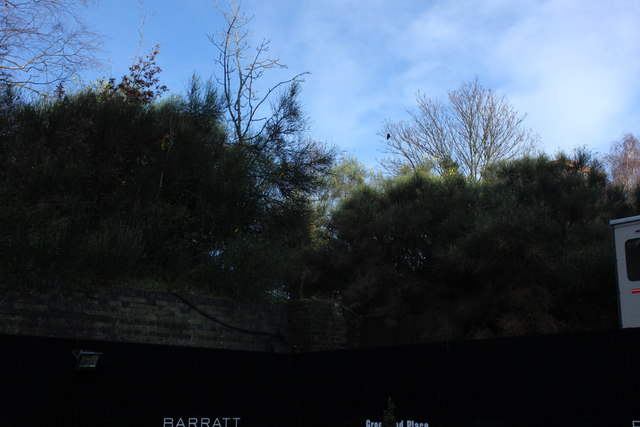
Image: © Robert Eva Taken: 10 Jan 2016
The embankment and bridge abutment are the remains of the Deptford Wharf branch line. A freight only route to the docks that closed in 1964
Images are licensed for reuse under creativecommons.org/licenses/by-sa/2.0
Image Location
Latitude
51.489594
Longitude
-0.039779