Track through Way Plantation, near Petrockstowe, Devon
Introduction
The photograph on this page of Track through Way Plantation, near Petrockstowe, Devon by Trevor Durritt as part of the Geograph project.
The Geograph project started in 2005 with the aim of publishing, organising and preserving representative images for every square kilometre of Great Britain, Ireland and the Isle of Man.

There are currently over 7.5m images from over 14,400 individuals and you can help contribute to the project by visiting https://www.geograph.org.uk
Track through Way Plantation, near Petrockstowe, Devon
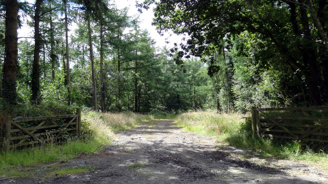
Image: © Trevor Durritt Taken: 31 Jul 2016
This is the entrance to Way Plantation, the track and woodland appearing on OS maps.
Images are licensed for reuse under creativecommons.org/licenses/by-sa/2.0
Image Location
Latitude
50.856674
Longitude
-4.14304