Clunbury Road, Northfield, Birmingham
Introduction
The photograph on this page of Clunbury Road, Northfield, Birmingham by Jeff Gogarty as part of the Geograph project.
The Geograph project started in 2005 with the aim of publishing, organising and preserving representative images for every square kilometre of Great Britain, Ireland and the Isle of Man.

There are currently over 7.5m images from over 14,400 individuals and you can help contribute to the project by visiting https://www.geograph.org.uk
Clunbury Road, Northfield, Birmingham
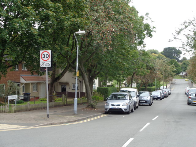
Image: © Jeff Gogarty Taken: 28 Sep 2016
The road is between two schools on Turves Green hence the 20 MPH restriction. Google street view shows the restriction ending on entering Turves Green which is a puzzle.
Images are licensed for reuse under creativecommons.org/licenses/by-sa/2.0
Image Location
Latitude
52.399471
Longitude
-1.97012