Bourne House, Lesbourne Road, Reigate
Introduction
The photograph on this page of Bourne House, Lesbourne Road, Reigate by Robin Webster as part of the Geograph project.
The Geograph project started in 2005 with the aim of publishing, organising and preserving representative images for every square kilometre of Great Britain, Ireland and the Isle of Man.

There are currently over 7.5m images from over 14,400 individuals and you can help contribute to the project by visiting https://www.geograph.org.uk
Bourne House, Lesbourne Road, Reigate
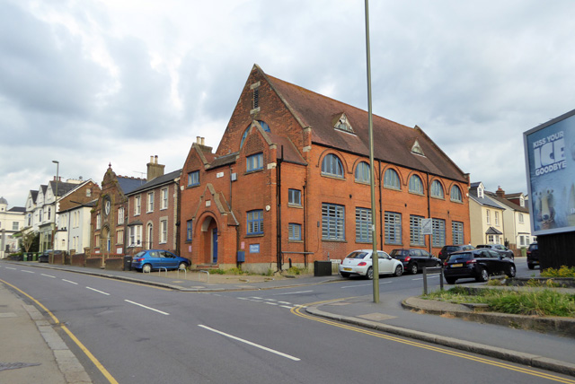
Image: © Robin Webster Taken: 21 Jul 2016
Formerly the parish hall, rebuilt 1914 according to the stone above the door.
Images are licensed for reuse under creativecommons.org/licenses/by-sa/2.0
Image Location


Leaflet Map data © OpenStreetMap
Latitude
51.233909
Longitude
-0.20093