Disused Railway Bridge over the road
Introduction
The photograph on this page of Disused Railway Bridge over the road by William Bartlett as part of the Geograph project.
The Geograph project started in 2005 with the aim of publishing, organising and preserving representative images for every square kilometre of Great Britain, Ireland and the Isle of Man.

There are currently over 7.5m images from over 14,400 individuals and you can help contribute to the project by visiting https://www.geograph.org.uk
Disused Railway Bridge over the road
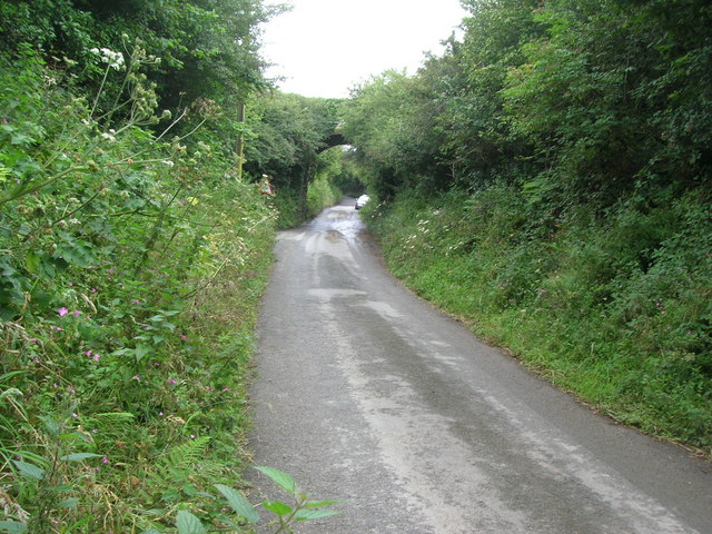
Image: © William Bartlett Taken: 2 Aug 2007
The turning to Vicarage Farm is just before the bridge on the left. The narrow lane comes up the hill from Newhall Green.
Images are licensed for reuse under creativecommons.org/licenses/by-sa/2.0
Image Location


Leaflet Map data © OpenStreetMap
Latitude
50.608114
Longitude
-4.741769