Lower Rosewin Row
Introduction
The photograph on this page of Lower Rosewin Row by Nigel Mykura as part of the Geograph project.
The Geograph project started in 2005 with the aim of publishing, organising and preserving representative images for every square kilometre of Great Britain, Ireland and the Isle of Man.

There are currently over 7.5m images from over 14,400 individuals and you can help contribute to the project by visiting https://www.geograph.org.uk
Lower Rosewin Row
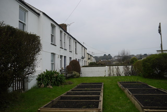
Image: © Nigel Mykura Taken: 27 Feb 2016
A row of terraced cottages hidden among the backstreets of Truro with no direct road access, only by footpaths. The access path runs between the cottages and the gardens which have their own access gates.
Images are licensed for reuse under creativecommons.org/licenses/by-sa/2.0
Image Location
Latitude
50.264943
Longitude
-5.048842