Rosewin Hill
Introduction
The photograph on this page of Rosewin Hill by Nigel Mykura as part of the Geograph project.
The Geograph project started in 2005 with the aim of publishing, organising and preserving representative images for every square kilometre of Great Britain, Ireland and the Isle of Man.

There are currently over 7.5m images from over 14,400 individuals and you can help contribute to the project by visiting https://www.geograph.org.uk
Rosewin Hill
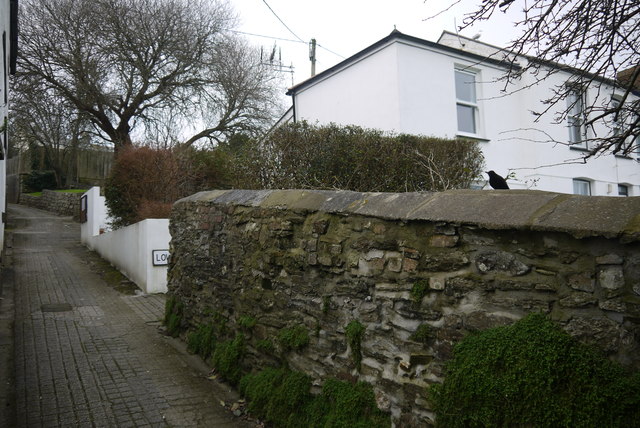
Image: © Nigel Mykura Taken: 27 Feb 2016
Rosewin Hill is a pedestrian snicket, gulley , ginnel , alleyway or footpath that runs from St Clement St north to Rosewin Row which is a row of terraced cottages. On the right of this image is Lower Rosewin Row another similar row of terraced cottages halfway up the hill
Images are licensed for reuse under creativecommons.org/licenses/by-sa/2.0
Image Location
Latitude
50.265119
Longitude
-5.048994