Hamnavoe from the road to Setter
Introduction
The photograph on this page of Hamnavoe from the road to Setter by Julian Paren as part of the Geograph project.
The Geograph project started in 2005 with the aim of publishing, organising and preserving representative images for every square kilometre of Great Britain, Ireland and the Isle of Man.

There are currently over 7.5m images from over 14,400 individuals and you can help contribute to the project by visiting https://www.geograph.org.uk
Hamnavoe from the road to Setter
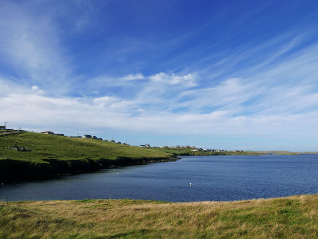
Image: © Julian Paren Taken: 26 Sep 2016
An unnamed bay is enclosed by Atla Ness and Bruna Ness and the outlying parts of Hamnavoe look over it.
Images are licensed for reuse under creativecommons.org/licenses/by-sa/2.0
Image Location
Latitude
60.106011
Longitude
-1.3322