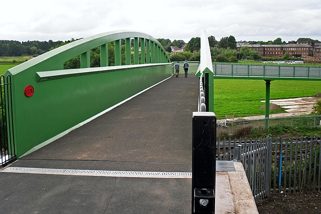
Newly completed Currock Bridge
Introduction
The photograph on this page of Newly completed Currock Bridge by Rose and Trev Clough as part of the Geograph project.
The Geograph project started in 2005 with the aim of publishing, organising and preserving representative images for every square kilometre of Great Britain, Ireland and the Isle of Man.
There are currently over 7.5m images from over 14,400 individuals and you can help contribute to the project by visiting https://www.geograph.org.uk

Image: © Rose and Trev Clough Taken: 18 Sep 2016
The bridge was opened in September 2016. It crosses the Cumbrian Coast railway line, and is accessible by pedestrians, cyclists and wheelchair users. It is the welcome replacement for an uninviting old bridge (Geograph photos http://www.geograph.org.uk/photo/1197295 http://www.geograph.org.uk/photo/1197294 http://www.geograph.org.uk/photo/1197293 ), which has now been demolished. This end of the bridge is at Lund Crescent, Currock. The ramp comes down near Maryport Cottages, where a bridge across the River Caldew connects to Denton Holme. The project was funded by the Cumbria Local Enterprise Partnership, it was managed by Cumbria County Council, and the main contractor was Story Contracting (for more information see http://www.cumbria.gov.uk/communications/currockbridge.asp ).

