The Course of the river Clywedog
Introduction
The photograph on this page of The Course of the river Clywedog by Geraint Roberts as part of the Geograph project.
The Geograph project started in 2005 with the aim of publishing, organising and preserving representative images for every square kilometre of Great Britain, Ireland and the Isle of Man.

There are currently over 7.5m images from over 14,400 individuals and you can help contribute to the project by visiting https://www.geograph.org.uk
The Course of the river Clywedog
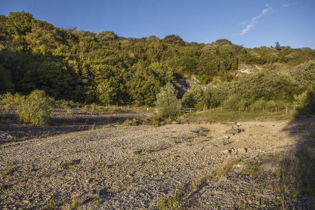
Image: © Geraint Roberts Taken: 25 Sep 2016
Along a footpath down from Minera Mountain, the course of the dry,river bed can be seen on the route through the disused quarry. A footbridge just visible in the distance.
Images are licensed for reuse under creativecommons.org/licenses/by-sa/2.0
Image Location
Latitude
53.061107
Longitude
-3.112687