Hambeer Lane; one of two trig points
Introduction
The photograph on this page of Hambeer Lane; one of two trig points by David Smith as part of the Geograph project.
The Geograph project started in 2005 with the aim of publishing, organising and preserving representative images for every square kilometre of Great Britain, Ireland and the Isle of Man.

There are currently over 7.5m images from over 14,400 individuals and you can help contribute to the project by visiting https://www.geograph.org.uk
Hambeer Lane; one of two trig points
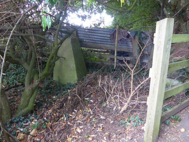
Image: © David Smith Taken: 19 Sep 2016
There are two trig point pillars by the footpath, both overgrown. This is the northern one, not marked on maps.
Images are licensed for reuse under creativecommons.org/licenses/by-sa/2.0
Image Location
Latitude
50.710324
Longitude
-3.554774