Flats
Introduction
The photograph on this page of Flats by Bill Harrison as part of the Geograph project.
The Geograph project started in 2005 with the aim of publishing, organising and preserving representative images for every square kilometre of Great Britain, Ireland and the Isle of Man.

There are currently over 7.5m images from over 14,400 individuals and you can help contribute to the project by visiting https://www.geograph.org.uk
Flats
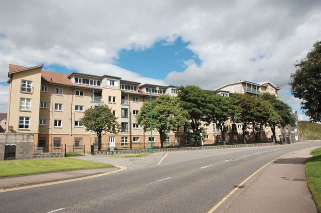
Image: © Bill Harrison Taken: 13 Aug 2016
A sprawling modern block on Links Road, which curves around onto Urquhart Road at the traffic lights in the distance.
Images are licensed for reuse under creativecommons.org/licenses/by-sa/2.0
Image Location
Latitude
57.153577
Longitude
-2.084116