Tuckton: southwestern end of footpath I10
Introduction
The photograph on this page of Tuckton: southwestern end of footpath I10 by Chris Downer as part of the Geograph project.
The Geograph project started in 2005 with the aim of publishing, organising and preserving representative images for every square kilometre of Great Britain, Ireland and the Isle of Man.

There are currently over 7.5m images from over 14,400 individuals and you can help contribute to the project by visiting https://www.geograph.org.uk
Tuckton: southwestern end of footpath I10
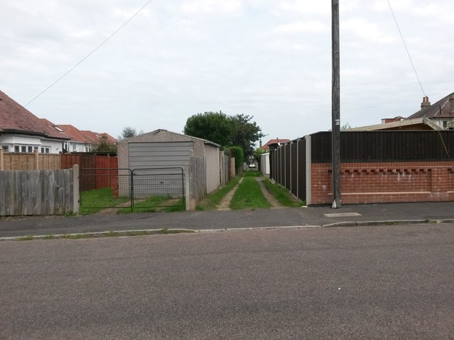
Image: © Chris Downer Taken: 24 Sep 2016
The residential road Elmsway forms three sides of a square created with Tuckton Road, and this public footpath cuts through that square. It forms rear access to the houses along this stretch of Tuckton Road. See Image for the next view on the path, and links to further photos on the route.
Images are licensed for reuse under creativecommons.org/licenses/by-sa/2.0
Image Location
Latitude
50.726102
Longitude
-1.801036