Wick: footpath I29 from Verwood Crescent
Introduction
The photograph on this page of Wick: footpath I29 from Verwood Crescent by Chris Downer as part of the Geograph project.
The Geograph project started in 2005 with the aim of publishing, organising and preserving representative images for every square kilometre of Great Britain, Ireland and the Isle of Man.

There are currently over 7.5m images from over 14,400 individuals and you can help contribute to the project by visiting https://www.geograph.org.uk
Wick: footpath I29 from Verwood Crescent
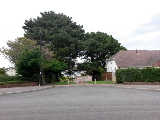
Image: © Chris Downer Taken: 24 Sep 2016
The kerb of Verwood Crescent opens out like a side turning here, at the point where this public footpath to Ariel Drive starts. It is a short grass-flanked path. See Image for a photo of the path as it descends just ahead.
Images are licensed for reuse under creativecommons.org/licenses/by-sa/2.0
Image Location
Latitude
50.726336
Longitude
-1.7812