Wick: bridleway I28 from Branders Close
Introduction
The photograph on this page of Wick: bridleway I28 from Branders Close by Chris Downer as part of the Geograph project.
The Geograph project started in 2005 with the aim of publishing, organising and preserving representative images for every square kilometre of Great Britain, Ireland and the Isle of Man.

There are currently over 7.5m images from over 14,400 individuals and you can help contribute to the project by visiting https://www.geograph.org.uk
Wick: bridleway I28 from Branders Close
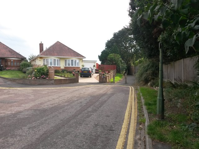
Image: © Chris Downer Taken: 24 Sep 2016
This short public bridleway leads from the dead end of Branders Close to Thornbury Road, and as can be seen here it resembles a footpath more than a bridleway. See Image for the next view along the bridleway, with links to further photos along the route.
Images are licensed for reuse under creativecommons.org/licenses/by-sa/2.0
Image Location
Latitude
50.726969
Longitude
-1.783322