Stanmore Marsh
Introduction
The photograph on this page of Stanmore Marsh by Christopher Hilton as part of the Geograph project.
The Geograph project started in 2005 with the aim of publishing, organising and preserving representative images for every square kilometre of Great Britain, Ireland and the Isle of Man.

There are currently over 7.5m images from over 14,400 individuals and you can help contribute to the project by visiting https://www.geograph.org.uk
Stanmore Marsh
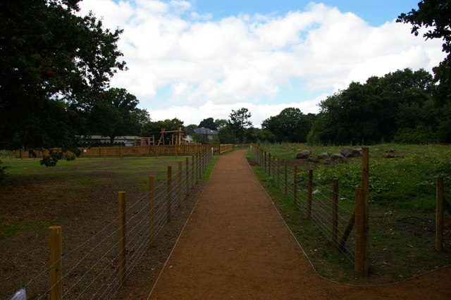
Image: © Christopher Hilton Taken: 22 Sep 2016
Improvement works were taking place in the autumn to ready this public open space for the following spring.
Images are licensed for reuse under creativecommons.org/licenses/by-sa/2.0
Image Location
Latitude
51.608047
Longitude
-0.300702